Blog informale e aperto su tutto ciò che riguarda le reti informatiche e i dati
An #Israeli firm accused of supplying #Pegasus #spyware to governments has been linked to a list of tens of thousands of smartphone numbers, including those of activists, journalists, business executives and politicians around the world, according to reports.
Information and Communication Technologies (ICTs) can be exploited for criminal purposes (through cybercrime) or used to undermine international security (through so-called cyberattacks or cyber operations). However, the international security and crime dimensions of ICTs are distinct issues, with different processes, tools, and frameworks designed to address them, albeit they increasingly overlap in some ways. In this context, there is a need for greater understanding of how international frameworks and policy discussions on combatting cybercrime and promoting responsible State behaviour in the use of ICTs may be better leveraged for coherent responses. This side event to the UNGA First Committee discussed the findings and recommendations of a new UNIDIR report on the intersection and touchpoints between international cybersecurity and cybercrime
Quantum computers aren’t the next generation of supercomputers—they’re something else entirely. Before we can even begin to talk about their potential applications, we need to understand the fundamental physics that drives the theory of quantum computing. (Featuring Scott Aaronson, John Preskill, and Dorit Aharonov.)
Meet a data scientist who is using big data to create the medical systems of the future. Dr. Eric Schadt of the Icahn Institute is creating algorithms that can detect ailments and chart personalized health profiles.
Google: "We’re marking a major milestone in quantum computing research that opens up new possibilities for this technology. Learn how the Google AI Quantum team demonstrated how a quantum computer can perform a task no classical computer can in an experiment called "quantum supremacy."
“Machine Learning: Living in the Age of AI,” examines the extraordinary ways in which people are interacting with AI today. Hobbyists and teenagers are now developing tech powered by machine learning and WIRED shows the impacts of AI on schoolchildren and farmers and senior citizens, as well as looking at the implications that rapidly accelerating technology can have. The film was directed by filmmaker Chris Cannucciari, produced by WIRED, and supported by McCann Worldgroup.
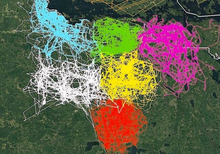
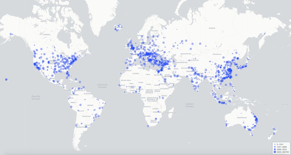
Digital data is being collected all over the world very quickly and has increased in quantity faster than anyone expected. The organization and sharing of this data is crucial to the ongoing work of biomedical research and in many ways the future of medicine depends on it.

Every Sunday "Guerre di Rete" selects and analyses news and stories on cybersecurity, politics and the Net, surveillance, cybercrime, digital rights, artificial intelligence, from a global perspective.
")
")
